Skip to content

Geography & Earth

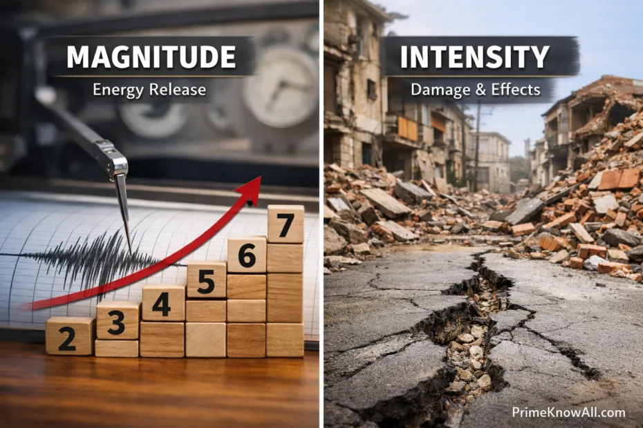
A graph showing earthquake magnitude levels and a photo of damaged buildings in an earthquake.

Earthquake Basics: Magnitude vs Intensity

Earthquakes often get described with two different kinds of numbers: magnitude and intensity. They sound similar, but they answer different questions. Magnitude describes the size of the earthquake at its source. Intensity describes the strength of shaking at a specific place. Understanding this difference helps people read alerts,… 

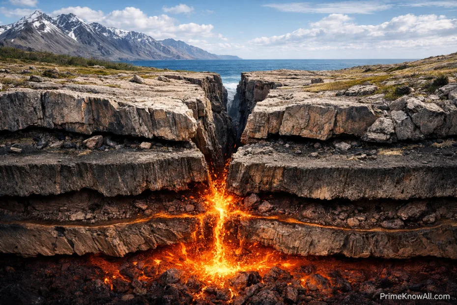
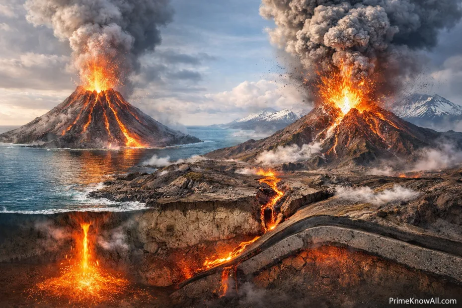
Volcanic eruption between tectonic plates with flowing lava and rocky landscape

Tectonic Plates Explained: How Earth’s Crust Moves

Earth’s surface looks solid, but it is built from moving pieces called tectonic plates. These slabs of the lithosphere (crust plus the uppermost mantle) slide over a softer layer beneath, reshaping continents, building mountains, opening oceans, and triggering earthquakes. Plate tectonics is the unifying theory that explains why… 

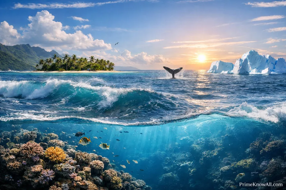
A whale's tail rises out of the ocean waves during sunset by shallow coral reefs.

Oceans of the World: Names, Depth, and Key Facts

Earth has one connected global ocean, but for navigation, science, and everyday language it’s often described as five major ocean basins: the Pacific, Atlantic, Indian, Southern, and Arctic. Each one has its own shape, depth profile, and signature role in climate and ecosystems—yet all are linked by currents… 

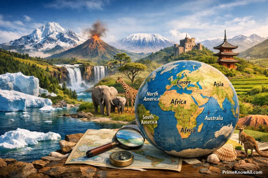
A colorful map showing the continents of the world with a compass and a globe nearby.

Continents of the World: Names, Size, and Key Facts

Continents are Earth’s biggest land regions—huge, varied spaces where geology, climate, and human history interact on a planetary scale. When people say “the continents,” they usually mean seven broad areas: Asia, Africa, North America, South America, Antarctica, Europe, and Australia (often grouped with the wider region called Oceania).…